


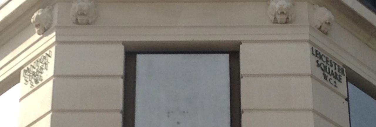
* Or more accurately, the west side is in WC2, the north side is in W1, the east side is in WC2 (again) and the south side is in SW1.

Posted by
Mark Wadsworth
at
08:11
9
comments
![]()
From The Cabinet Office:
Each Postcode consists of two parts.
The first part is the Outward Postcode, or Outcode. This is separated by a single space from the second part which is the Inward Postcode, or Incode.The Outward Postcode enables mail to be sent to the correct local area for delivery. This part of the code contains the area and the district to which the mail is to be delivered.
The Inward Postcode is used to sort the mail at the local area delivery office. It consists of a numeric character followed by two alphabetic characters. The numeric character identifies the sector within the postal district. The alphabetic characters then define one or more properties within the sector.
An example Postcode is PO1 3AX.
- PO refers to the Postcode Area of Portsmouth. There are 124 Postcode Areas in the UK.
- PO1 refers to a Postcode District within the Postcode Area of Portsmouth. There are approximately 2,900 Postcode Districts.
- PO1 3 refers to the Postcode Sector. There are approximately 9,650 Postcode Sectors.
- The AX completes the Postcode. The last two letters define the 'Unit Postcode' which identifies one or more small user delivery points or an individual Large User. There are approximately 1.71 million Unit Postcodes in the UK.
i.e. each postcode sector contains about three thousand addresses.
Posted by
Mark Wadsworth
at
17:23
4
comments
![]()
Labels: Land Value Tax, Postcodes

